
Trace an Imperial Street by Address
The most sound address-by-address workflow begins with a physical address, not a guessed resident name. Write the street number and street name as shown by the city or postal record. Then use the Imperial County Assessor address or APN search to identify the parcel. The parcel number is the bridge to the county tax record and, when indexed, to RecorderWorks. A GIS view helps confirm which parcel touches the street and whether the site falls inside the city line or the larger sphere of influence. Each later source adds a dated clue rather than a claim that one person lives there now.
- Enter the street number and name, or the APN, in the Assessor Property Value Notification or ParcelQuest Lite search. Save the assessment number, physical address, and any parcel map details shown.
- Open the Assessor Front Desk Geo Viewer or City of Imperial GIS Services and locate the street segment. Click the subject parcel when the live viewer allows it, then carry the APN into the next search.
- Use the parcel, legal description, or known party to narrow RecorderWorks. Search a name as a grantor or grantee, and read the document type and recording date before treating a party as an owner.
- Check the Treasurer-Tax Collector search for the parcel or bill. A tax record can anchor a tax year and payment status, but it does not list every person at the address.
- Use Citizenserve, permit reports, or a focused city request for address-linked work. Treat a permit applicant, contractor, or owner as a role tied to that project and date.
- Use voter information only through the California self-lookup or a lawful records request, then ask the library about any verified reverse directory run. Neither route is a public street roster.
When the goal changes from a whole street to one person, the Imperial resident lookup workflow has different identity checks. Keep that shift clear so an address trail is not mistaken for a personal profile.
Imperial Street Directory Coverage
Address records in Imperial are spread across county, city, and state custodians. The coverage table below shows what each source can add to an address record trail and what it cannot prove. That is the practical street directory boundary: the Assessor ties a situs to an APN, the recorder indexes legal instruments, the tax portal follows a bill, and city permit records show a project role. Voter data is controlled access, while a reverse directory remains a librarian question because no official local shelf inventory was verified.
| Address Record | Keeper | Useful Evidence | Access Route |
|---|---|---|---|
| Assessment and parcel | Imperial County Assessor | APN, situs, assessment, map, selected characteristics | Address or APN online; counter and phone fallbacks |
| GIS and zoning | Assessor and City GIS | Street context, parcel shape, zoning, city line, sphere | Geo Viewer and city GIS pages |
| Recorded instruments | Clerk-Recorder | Indexed parties, transfer date, deed type, legal land | RecorderWorks from 01/02/1986; older indexes in office |
| Tax bill | Treasurer-Tax Collector | Parcel-linked bill, payment or delinquency trail | Online tax search; payment terms can add fees |
| Permits and code files | City Community Development | Project address, work, applicant or contractor role | Citizenserve, 2019-2022 reports, or focused request |
| Voter information | SOS and County Registrar | A registrant's residence and districts within released data | Self-lookup or permitted file request, never street browse |
One source should not be stretched to cover another source's gap. A parcel may have an owner of record but several occupants. A permit may name a contractor who never lived at the project. A voter result may be unavailable even when a person is registered, and a reverse directory may omit rural delivery or a volume held outside Imperial. The address chain is strongest when its rows are labeled by source, date, and evidence type.
Imperial Parcels Start With APN or Address
The Assessor's Property Value Notification directions make the address-first path unusually plain. Type the street number and street name into the physical-address field, submit, and open the underlined assessment number to view or print the value notice. The example on the county page is only an example of the field format, not a claim about a particular Imperial parcel. The Assessor's ParcelQuest Lite link adds a county route to public property data after its external-host notice. It uses the APN or physical address, not a public internet owner-name search.
The search fields matter because a name-first approach will fail at the assessor. For an Imperial street directory search, use the parcel key when a legal description, tax bill, or GIS click gives one. If the search returns a value notice, record the date shown. The public assessor page warns that displayed values are as of January 1, 2022, so a captured notice needs a clear time label.
| Field | What to enter or expect |
|---|---|
| APN or parcel ID | Use the county parcel key when it is known; the public help does not specify a universal punctuation format. |
| Physical address | Enter street number and street name as the address search key. |
| Owner name | Unavailable for unrestricted county internet searching because protected home-address rules limit the public display. |
| Submit and result | Open the returned assessment number, then use the value notice or parcel product offered. |
The public parcel result can include the APN, situs, assessment parts, net assessment, and basic map or characteristic data. It is not a household roll. The Assessor's office at 940 W. Main St., Suite 115, El Centro, is a fallback for inspection and questions. Specialized phone lines are more useful than a broad guess: mapping and GIS is (442) 265-8609, transfers is (442) 265-8608, building records and mailing-address work is (442) 265-1303 or (442) 265-1304, and residential value is (442) 265-8809. The office lists weekday hours from 9 a.m. to 5 p.m.
The Imperial County Assessor Geo Viewer launch page is the starting point for the county's map tools.
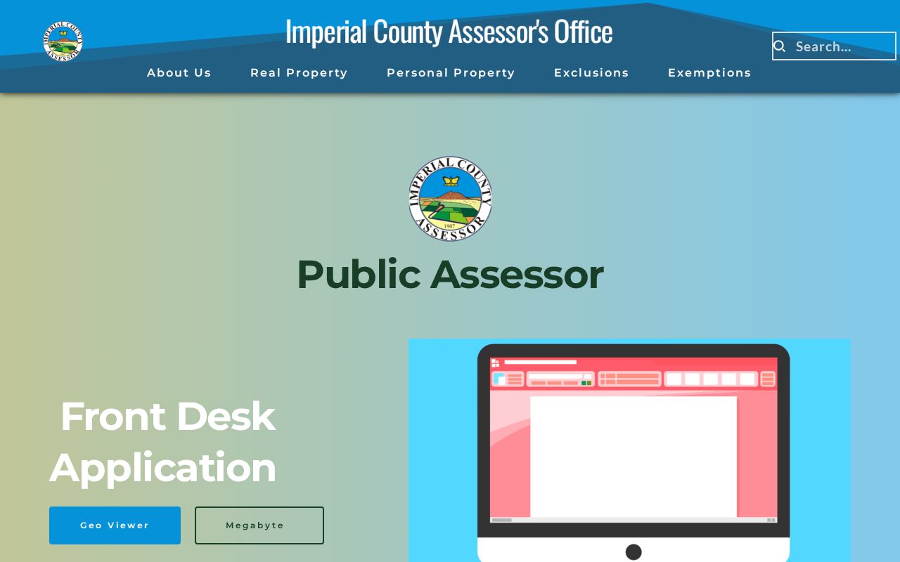
The launch screen helps separate the map step from the value-notice step. A map click can supply the APN that the address search needs, but the live layers and controls should be checked at the time of use.
The Assessor address and parcel directions show the public search path and the owner-name limitation.
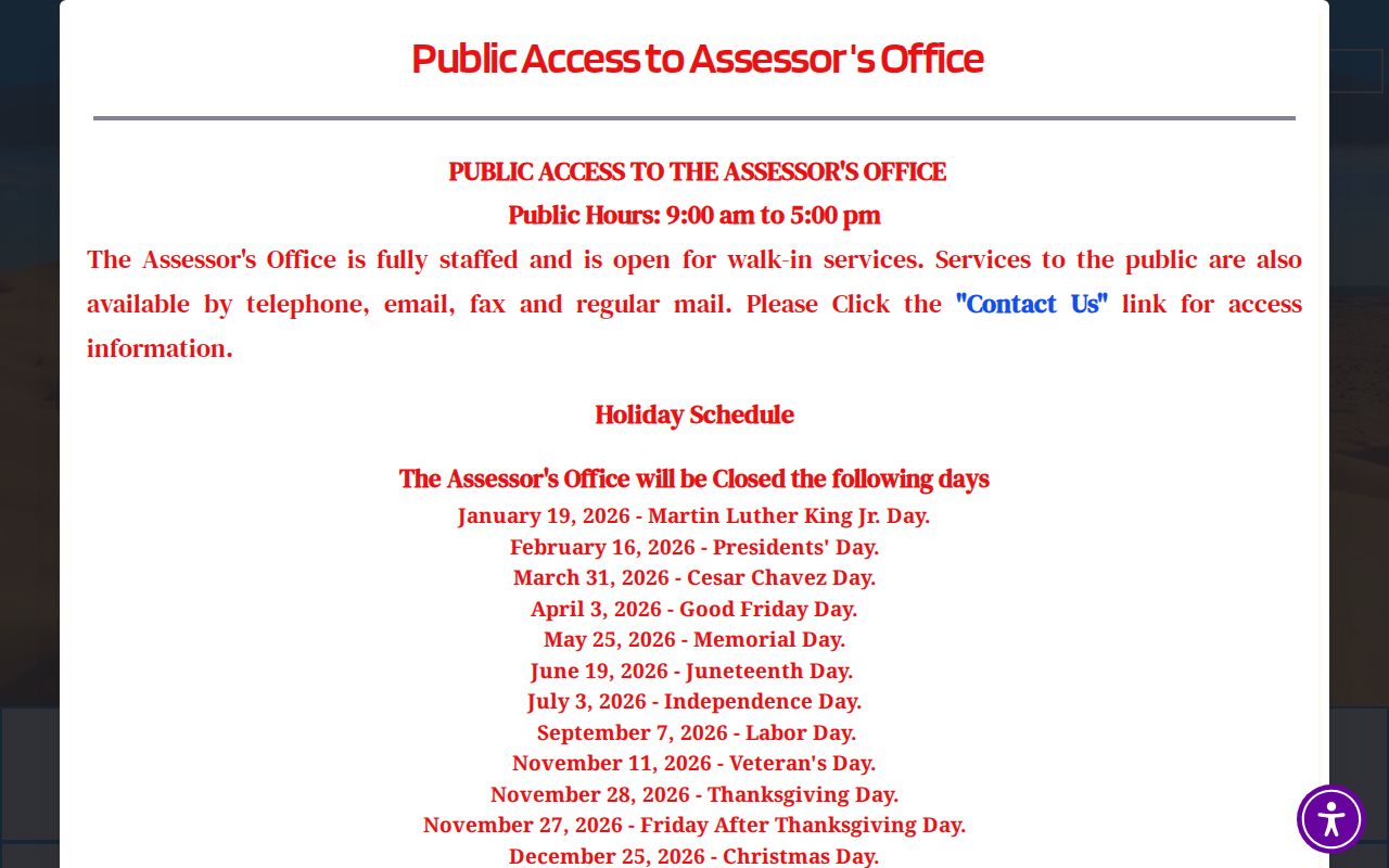
That distinction keeps the address trail grounded in a parcel rather than a guessed name. It also gives a researcher a clear fallback when the online form has no match.
Imperial GIS Shows Streets and Parcels
Imperial's geography layer comes from two related sources. The Assessor Front Desk Geo Viewer supports parcel browsing, while the City's GIS Services page links to city applications and a zoning map. The zoning map distinguishes incorporated city limits from a larger sphere of influence and shows street names, the numbered and lettered core, and newer curving subdivisions. Those boundaries matter when an Imperial postal label is treated as if it proves city jurisdiction.
A safe GIS sequence is simple: pan or zoom to the street, click the subject parcel when the viewer exposes a parcel selection, and copy the APN. Then compare that APN with the Assessor and tax results. Do not promise a radius, export, buffer, or adjacent-select tool from the public page. The research run could support parcel click, pan, and zoom at a high level, but it did not expose a stable list of live layer controls.
The City of Imperial GIS Services page is the official source for its applications and zoning context.
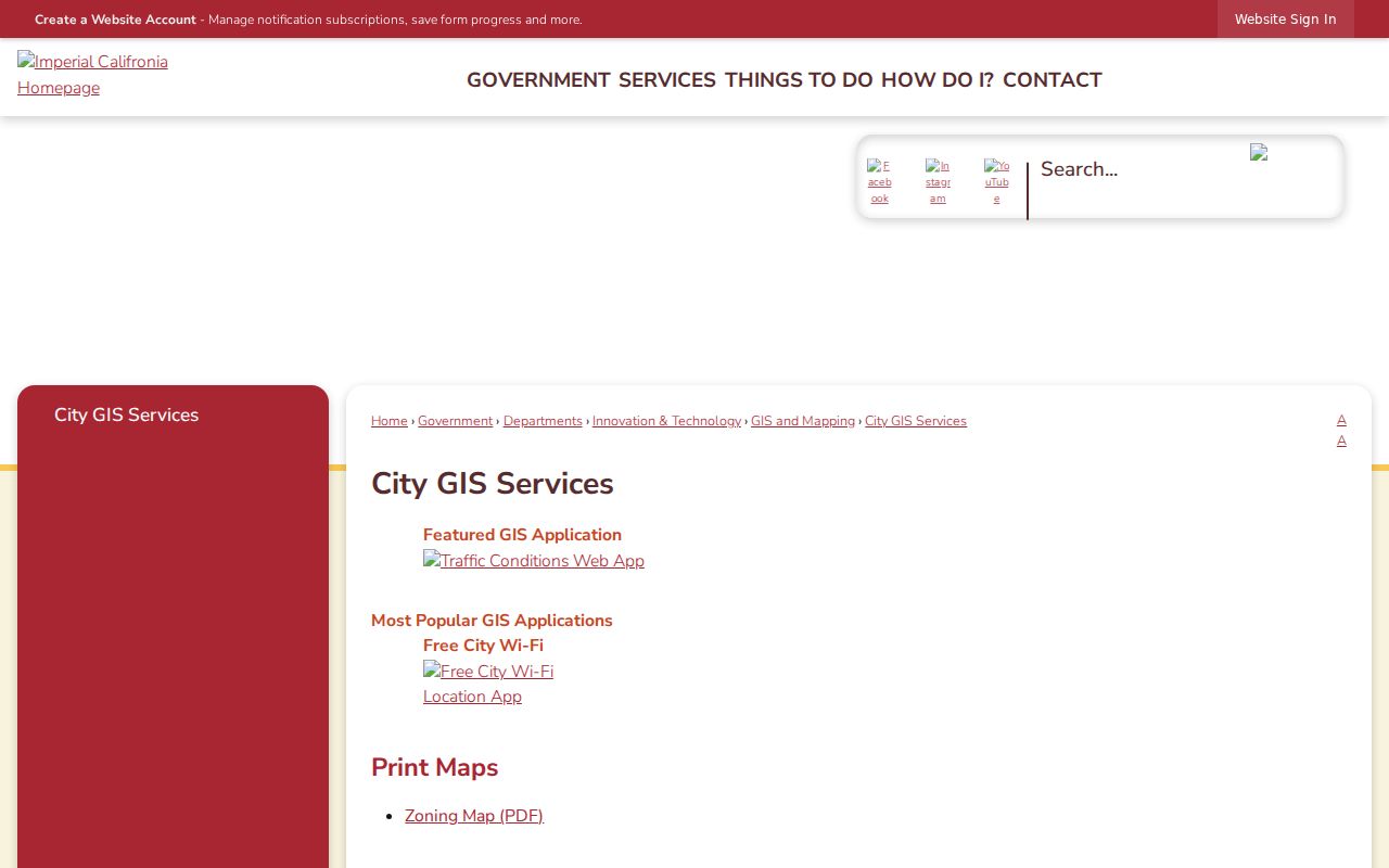
The City GIS source adds local boundary and zoning context to a county parcel search. It does not provide a resident roster, and a mapped development label is not proof of an active civic group.
The map can also expose why an address search needs care. Imperial planning material names Barioni Lakes, Encanto Estates, Springfield, Morningside, McFarland Ranch, and Sanchez Ranch as development labels. They are useful geographic clues, not verified neighborhood-association lists. Preserve the street label, APN, lot or block, and legal description as separate fields when the goal is a repeatable address trail.
Imperial Street History Has Date Cutoffs
Imperial was plotted in 1902 and incorporated on July 12, 1904. Imperial County organized in 1907, with El Centro as the county seat. Those dates help place a street, city record, or subdivision clue in time, but they do not create a list of former occupants. The 1979 earthquake damaged older downtown buildings, including City Hall; the research does not identify a specific street-record group that was destroyed.
The official material also does not publish a dated list of Imperial street renamings, numbering rules, or an APN format key. If a street label does not fit an older deed or map, keep the legal description, lot or block, and APN beside the old and new wording. The parcel key is more stable than a guessed spelling, and the recorder's January 2, 1986 online cutoff remains a clear marker for when office indexes may be needed.
Imperial Situs and Mailing Clues
An address record can go wrong when it treats every field as the same thing. The situs is the land or building being assessed. A mailing address is where tax correspondence is sent. A plat is a recorded map of lots, blocks, streets, or easements. A criss-cross directory is a reverse directory organized by address or street rather than only by surname. The county sources make the first three useful, but the research did not verify a published Imperial criss-cross shelf.
- Parcel
- A mapped unit of land identified by an APN and tied to assessment or legal-description records.
- Situs address
- The physical location of the assessed land or building, which can differ from the tax-mailing address.
- Plat
- A recorded map that gives lot, block, subdivision, street, or survey context to a parcel.
- Criss-cross directory
- A reverse directory that may connect an address or street to an occupant or phone subscriber for years held.
A different mailing address may suggest an owner does not receive tax mail at the parcel, but it does not prove current residence. The owner can be an estate, trust, business, or other recorded party. Household members, children, and occupants who are not owners can be absent from the property roll. Those limits are not errors to fill with guesses. They are reasons to keep the source label beside each name.
The Imperial County Assessor contact page provides the office divisions and contact paths used when a parcel question cannot be solved online.
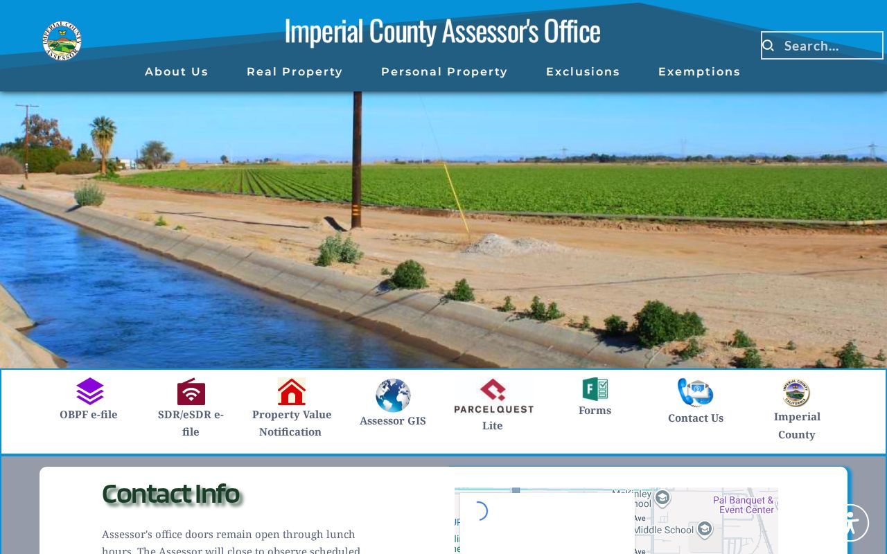
Division-level contacts help route a map, transfer, building-record, mailing-address, exemption, or residential-value question to the right desk. They do not turn a protected field into a public name search.
Imperial Street Deeds in RecorderWorks
RecorderWorks is the name-first counterpoint to the assessor's address-first public search. Its online recorded-document index begins January 2, 1986. A street directory trail can use that index to connect a parcel clue to an indexed party, but it still needs a document role and date. Search by name, document number, recording date, document type, parcel number, or map mode. A name uses the form LAST, FIRST; a partial first name can help prevent a timeout, and the portal allows a partial match. A document-number search needs the full number that begins with the four-digit year. Narrow a large result set before reading it.
Open the document-number link to see the index detail. The party-name link can rerun all indexed documents tied to that name, sorted by document type and recording date. The row is still an index, not the whole document and not proof of present title. A party may be a grantor, grantee, trustee, lien claimant, judgment party, lessee, or another role. Read the legal description and parcel information before placing the row in an address record.
The Clerk-Recorder office at 940 W. Main St., Suite 202, El Centro, keeps older indexes and books for in-person work. It lists weekday hours of 8 a.m. to 4 p.m. and official-record phone service at (442) 265-1075. Public documents may be viewed at the office without charge. The official record and map copy form is a fulfillment tool after index work: it asks for a document number or book and page, plain or certified copies, number of pages, requester contact, and payment. Plain copies are $2 for the first page plus $1 for each added page; certified copies are $2.50 for the first page plus $1 for each added page. Mail a completed form with the required check or money order after the document key is known.
The Imperial RecorderWorks index shows the grantor-grantee search path and the January 2, 1986 online boundary.
Carry a party name, APN, book or page, legal description, and recording date together. The recorder does not perform index research for a requester, so an address-only question must first be converted into a usable parcel or party key.
Imperial Permits and Tax Bills
City permits add a dated project layer to address research. Citizenserve handles planning, building, engineering, encroachment, zoning-verification, and code-enforcement applications through an account. The separate Building Permit Reports page publishes monthly reports chiefly from 2019 through 2022, with some missing months visible in the year lists. A permit row can show a project address, work description, valuation, applicant, contractor, or owner role. It does not prove that the named person occupied the site.
When the interactive portal does not expose an older record, ask Community Development for an identifiable permit application, issued permit, inspection card, status, or completion record by address and date range. A focused City Clerk request can be sent by email, fax, or mail using the city form. Name the address, APN, record series, and time span. Under the California Public Records Act, the first response is normally a determination within 10 days, with a possible 14-day unusual-circumstances extension. That is a determination deadline, not a promise that every copy arrives in ten days.
The Imperial County Treasurer-Tax Collector is the county entry point for tax-bill and payment records tied to a parcel.
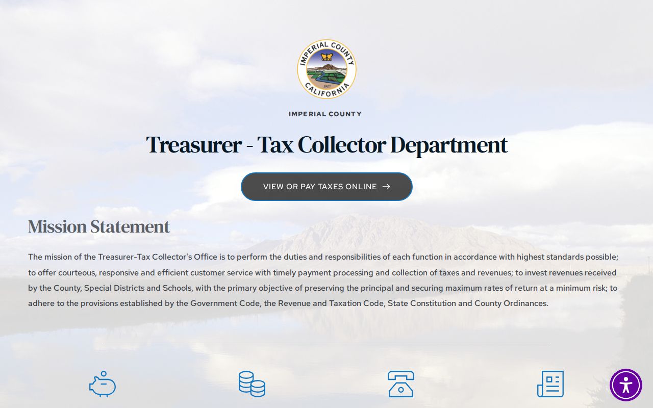
The tax office source puts the bill trail beside the assessment and deed trail. Any payment-service fee or penalty belongs to the tax portal's current terms, not to the basic record description.
The Imperial tax-bill search is the direct parcel lookup route for a bill or tax status.
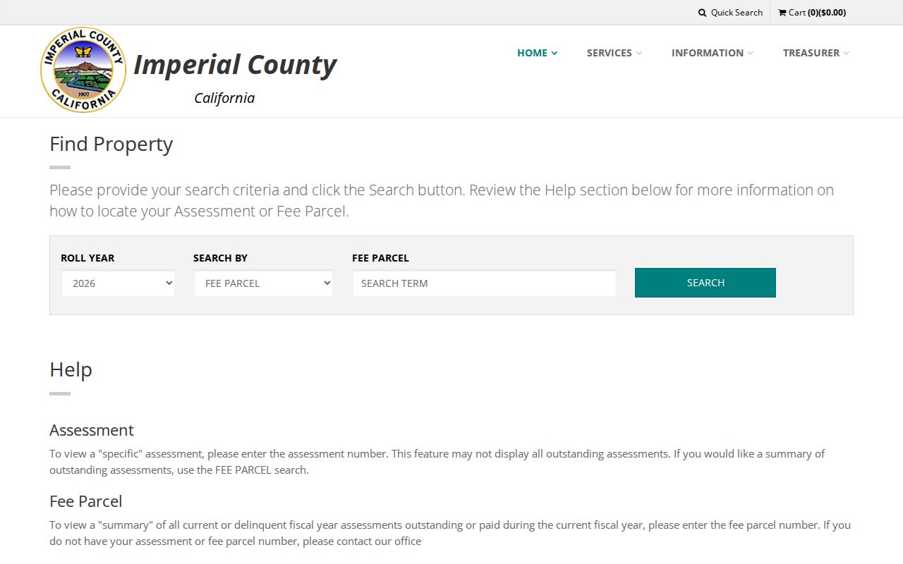
Use the bill as a dated parcel clue. It can help reconcile an address or APN, but it is not a list of all current residents and should not be used to infer a household from one payment record.
Imperial Street Voter Access Is Controlled
The California voter-status page links to My Voter Status, a self-lookup. It asks for first name, last name, date of birth, a California driver license or state ID with an option to say none, the last four digits of a Social Security number with an option to say none, and a reCAPTCHA. It returns the user's registration status, location, party and language preference, polling place, election information, county contact, and ballot status. It is not a public name or street roll.
The Imperial Registrar of Voters is at 940 W. Main St., Suite 206, El Centro, with phone (442) 265-1060 and weekday hours of 8 a.m. to 5 p.m., closed noon to 1 p.m. A wider voter file requires the elections-office process, a permitted election, scholarly, journalistic, political, or governmental purpose, an identified beneficiary, restrictions, identification, and a penalty-of-perjury signature. Elections Code section 2194 and Government Code section 7924.000 limit casual or commercial use, and Elections Code section 18109 makes knowing unauthorized use a misdemeanor.
Names, residence or mailing address, precinct, status, and participation fields may be released only within those rules. Driver license and state ID numbers, Social Security numbers, signatures, unique government identifiers, and protected-voter details are excluded. Safe at Home provides a separate confidential registration path for qualifying people. Address research must never promise a voter browse or use a self-lookup as a way to enumerate an Imperial block.
Note: A voter-status result confirms the submitted person's registration details, not the identity of every occupant or owner at an Imperial address.
Imperial Street Directories and the Reverse Gap
A reverse or criss-cross directory could connect an address to a household or phone subscriber for a particular year, but no official Imperial web page proves that a local run exists or states which years are held. The Imperial Public Library confirms reference services, in-library Ancestry, and LINK+, yet it does not publish an exact city-directory, reverse-directory, telephone-book, obituary, or newspaper-microfilm inventory. Ask a librarian or the Pioneers' Museum a focused question instead of treating an unverified shelf as fact.
The historical volumes themselves belong to the separate collection question. The Imperial city directories page keeps the verified 1908-1930 catalog run, NARA's valley holdings, and the uninspected-entry warning together. For a current street chain, use the assessor, GIS, recorder, tax, and permit sources first, then treat any reverse-directory lead as a dated clue that needs an image or custodian check. Imperial Public Library reference staff can be reached at (760) 355-1332 for a focused shelf or LINK+ question.
A missing reverse entry can reflect rural delivery, a spelling choice, migration, an omitted household, or a volume gap. It cannot by itself prove that a person never lived at the address. Record the exact title, publisher, year, town section, page or reel, and whether the entry was seen or only reported by a catalog.
Where an Imperial Street Directory Stops
An Imperial address record can connect a street to parcels, indexed parties, tax records, permits, and carefully controlled voter evidence. It cannot supply every occupant. Property rolls usually omit children, partners, guests, and other household members who are not recorded owners. A deed shows a legal party and land description, not a promise of present residence. A permit shows a project role. A mailing address shows where a notice went. Those distinctions protect the meaning of the record.
Use the California Public Records Act for a focused existing record, such as a named permit file, retained parcel extract, or city action. The City Clerk form asks for a record description and date or address details; it does not require the clerk to create a new street list. The DMV and utility records are not public directory substitutes. If a custodian withholds a protected address, record that limit rather than trying to reconstruct it from private data.
Lawful personal use. Public address records are meant for lawful research, family history, property verification, and civic use. Do not use by-address records to stalk, harass, threaten, intimidate, or expose a protected person.
The best final row has a source, date, role, and confidence level. A street directory result should retain those fields instead of becoming an unsupported name list. When the question is who owned land, follow the assessor and recorder. When the question is what changed at a parcel, add permits and tax records. When the question is one resident, switch to a resident lookup and verify across independent records. When the source does not prove a fact, leave the gap visible.